Monday, November 11, 2019

OUR 2019 FALL TRIP


our fall trip 2019

Damian Johnson's graduation from his MBA program was a prime reason for our recent trip. here he is with his parents, Richard Johnson and Mary Bonds and her wife Jennifer Chavez.
 

 (scroll down)


Our recent adventure was initiated by grandson's graduation and a cousin's, Roger Bush, induction into Bluegrass Music Hall of Fame.  Roger, shown above, was bass player for the Kentucky Colonels the group was inducted for their contribution to the development and expansion of bluegrass.  Raleigh, NC outfitted the iconic statue of Walter Raleigh with appropriate instrument. 

 it is said that you do not choose your instrument, it chooses you. the remaining members of the Kentucky Colonels are to the right.  their popularity was in the late 1950-1970's. 


 many groups provided free concerts in a variety
to venues; this one was at the convention center.


the view from the top of Pikes Peak in Colorado Springs. 14,000'+   the view is all the way into Kansas.


The aspen trees and the cottonwoods were in their bright fall yellows.


 Capitol Reef NP provides a view into the past of our earth with uplifted tectonic plates which held some of the ancient seas while allowing others to drain and crate the valleys we see today.  


 as families moved west during the expansion of America some settled and farmed the lands. the valley of Capitol Reef was developed and farmed by a Mormon family who later would give the land to the US government for use as a park. the house below is the original farm house.


proof photo that we were ther at Capitol Reef.


 prior to the westward expansion this area was occupied by native tribes. They raised grains and fished and hunted for their survival. Additionally they created these petroglyphs for as yet unknown purpose.  Theories include depictions of hunts as well as a message board for other members of the tribe, or territory markings to designate boundaries of tribal influence.


During the 1950's there was a Uranium rush into this valley. the low grade ore, 3-5%, proved non economical for the miners and thus many mines were abandonded.   The danger of the mining coupled with the medical impact of the radiation has caused the mines to be sealed and warnings posted.


Monument Valley is filled with examples of nature's caprice.  Tall spires that seem ready to collapse sit adjacent to mesas with rain etched cliffs. Why some eroded while others stood up to the abrasive winds and rains remains a topic researched.


 below is my classic Monument Valley photo.
 what appears to be dead may only be hibernating waiting for the spring rains to bring its branches to life.


 Mesa Verde NP encloses several pueblo developments from early natives.  this one showed the small living quarters of these ancient tribes along with  their ceremonial areas called Kivas. Built beneath meas overhangs these dwellings, constructed of stones and mud,  were generally protected from the elements.

 This pueblo was built over several generations as the community expanded so did it. Called the Palace is is easy to visualize the people going about their lives of subsistence farming and hunting. What I found difficult to imagine is the construction processes that were involved since the tools that were used were very rudimentary and the maths we use today for building were unknown to them.


the garden of the gods in Colorado Springs is another example of the geological forces which shaped the earth we habituate.  Archeological geologists have explored this area and claim that some of the formations expose rocks that are millions of years old. these jagged projections are examples of the earth's plates sliding atop another which is projecting downward.


Balancing rocks seem to appear regularly in the rock formations.  This one looks like it could blow over in a strong wind. 


 Canyonlands NP just appears suddenly as you drive over a mesa. the confluence of two rivers, Colorado and Green, has eroded the surface into a myriad of canyons that stretch for miles. the layers of can be seen in the faces of the cliffs. Receding seas and massive storms helped wash away the soil to leave the canyons and valleys.


on our way to Moab, UT we stayed in Bluff, UT. This small town is the home to the BLM center for the Grand Escalante and Bears Wars National monuments visitor center.  the photo below is from our campsite.  the restaurant in the photo claims to have the best steaks in Bluff.  Do not doubt that as it is the only steak house in the town.


Arches NP is filled with mesas and spires as well as its namesake, sandstone arches.  The top one is called the delicate arch; the second one is of the glasses arch; yet another balancing rock waiting for the proper time to fall from its perch; finally the classic arch depiction of Arches NP. 


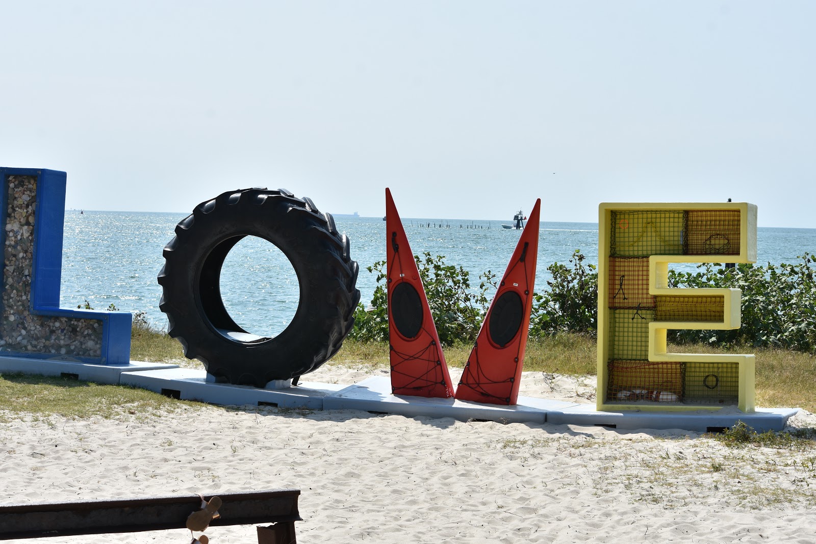
Trusting you actually read this far I offer this pop sculpture from an outter banks of Virginia beach entrance. 


Wednesday, February 28, 2018

Yosemite National Park


Yosemite National Park is a special place for Linda and me. Some 58 years ago we first met at a high school leadership conference held here.  this trip was short and so we only were able to visit the main valley attractions. On an earlier anniversary we spent a week hiking a part of the John Muir Trail which starts in Tuolume  Meadows and winds around the back of Half Dome descending into the Yosemite valley.
 
This is the view that greets you upon leaving the tunnel which feeds into Yosemite valley.

the two of us at Bridal Veil Falls.


The park center has this 3D map of the entire valley. the tunnel referenced above is on the right side about midway ( the yellow line that looks like it is dotted)

El Capitan with Half Dome in the distance


another view of El Capitan

El Capitan from its base. this rock is a popular rock climbing site with some climbers opting to stay over night in hammocks hung from the face. the climb to the top is about a two-three day adventure.

Yosemite Falls  this is a three stage falls and you can see the stages; first the wider section at the top, the narrow stream mid way and the final stage at the small  section just above the tree line.


San Joaquin river reflects the mountains


a doctored (romantic?) shot of the valley

this hotel was previously known as the Awanee but as a result of a change in vendors in the National Park it is now called the Majestic Hotel. built in 1923 it has a long and colorful history of hosting presidents and historic figures.
this is the main dining room at the Awanee.


the main lounge area


Registration desk


the park service has introduced a free shuttle bus system that goes to all areas of the park valley. once you find a parking space there is no reason to move the car with over 4 million visitors each year the park is very busy all year long.


one of the many streams that are produced by the waterfalls and feed into the San Jouquin river.


the continuing drought has killed several trees which have been cut as safety hazards.  the wood is cut up for use in fires by staff and visitors.

the 1997 flood was a disaster for the valley wiping out many buildings and exhibits.  this sign indicates the depth of  flood waters. much of  the damage was the result of log dams building up in the narrows of the canyon and then breaking free sending tons of debris down the valley.


this black and white is my homage to Ansel Adams who created several photos of iconic features of the Yosemite area.  If you have enough imagination and stare long enough you might be able to see an indian woman's face on Half Dome's face. she is guarding the valley from evil.


a part of my attempt to imitate Ansel Adams