 |
| the road into the park is over a small range of mountains with this sight greeting you. |
 |
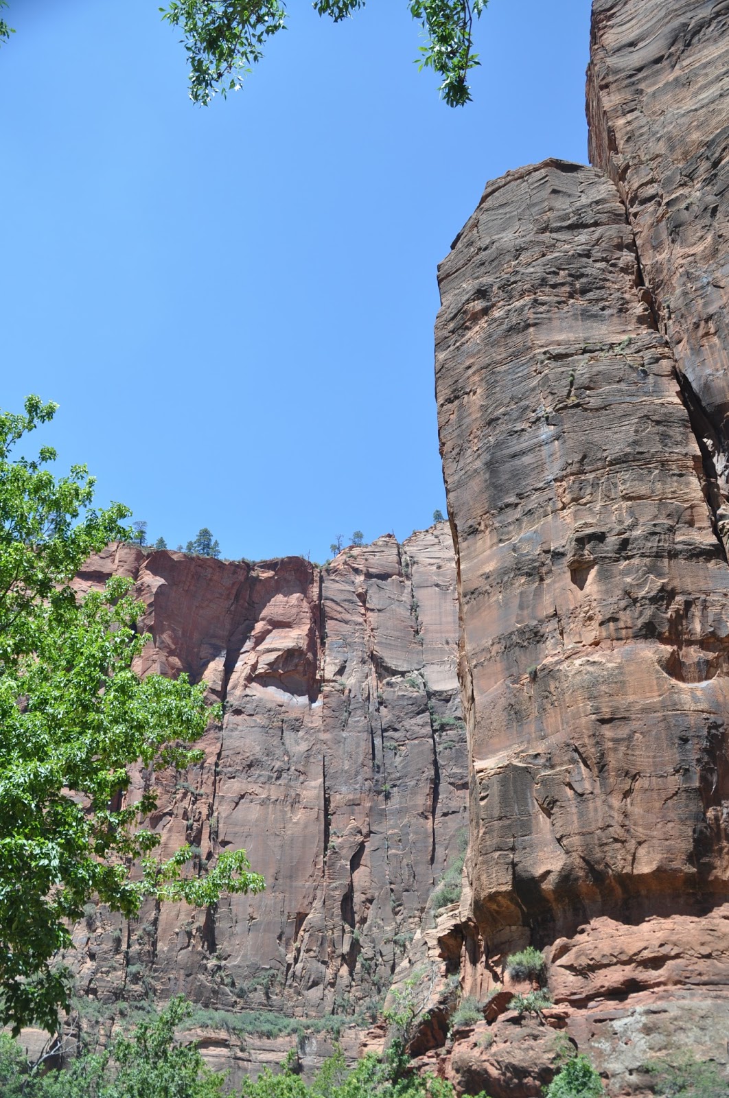
| This area of the park was formed by sand dunes blowing over each other and becoming compacted into sandstone. The markings show the variation in the wind directions that existed millennia ago. |

 |
| The layers of sandstone are clearly visible at many locations through the park. |
 |
| reminiscent of the area in Bryce. |
 |
| With a good cold, snowy and rainy winter this large slab of rock will fall victim to the erosion by forced splitting from the mountain cliff |
 |
| This small stream is responsible for the creation of the entire canyon. Swollen in the winter and spring it has closed access to the canyon, trapping visitors to the lodge several times. |

 |
| The white dashes are actually falling drops of water from a spring above. This area is called the weeping rock. |
 |
| a better view of the weeping rock area. |
 |
| The spring water comes directly from the face of the rock. |

 |
| This is the Sentinel. It overlooks all of the canyon and is a hiking landmark for those on the trails. |
 |
| These are part of the fleet of shuttle buses which services the canyon. |
No comments:
Post a Comment